
Blog
Radar Perimeter Detection in the Desert: Range and Clutter
Open-desert radar reality, animal-clutter rejection, dune-shadow blind spots. The honest Gulf perimeter radar guide.

Dr. Raphael Nagel
September 2, 2025
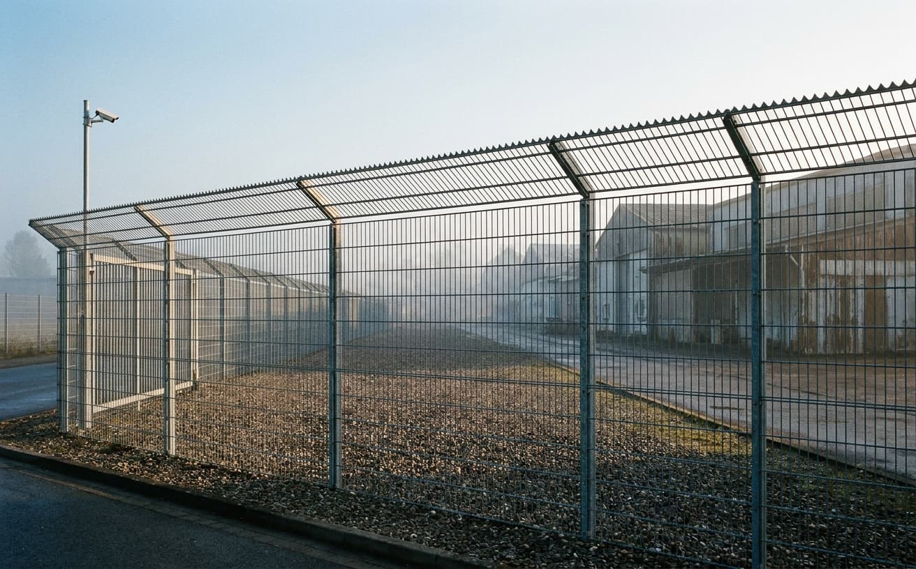
Radar is not a fence. Radar is a probabilistic detector whose published range is the number under which a sales engineer is willing to sign, not the number that holds when the wind picks up at four in the morning and the dune line has shifted twenty metres since the last survey.
This distinction matters in the Gulf because the marketing literature for ground surveillance radar was written for European and North American perimeters, where vegetation, fences, and built clutter dominate the picture. In the open desert, the physics shift. Background is sparse, contrast is high, ground is uneven in a way no datasheet anticipates, and the targets that walk through the beam are not always the targets the operator was hired to find. A camel herd at three in the morning will move a radar operator more than a perimeter intrusion ever will, because the operator has no choice but to clear every alarm. The honest question is not whether radar works in the desert. It works. The question is what it actually delivers, where it fails predictably, and what an integrator must do around it for the detection chain to hold across a year of operation.
Why open-desert radar behaves differently
Ground surveillance radar in the FMCW or pulse-Doppler classes was conceived as a clutter-rejection problem. The classical environment is full of returns, vegetation, vehicles, structures, weather, and the detector must isolate motion that matters. In the Saudi, Emirati, Omani and Kuwaiti perimeters this firm encounters, the inverse holds for most of the day. The background is radar-quiet. A walking human at fifteen hundred metres produces a clean return against sand. The detection problem in good conditions is almost trivial.
The honest conditions are not the good ones. Three phenomena distort the picture. The first is atmospheric ducting. Temperature inversions over hot sand in the early hours create propagation anomalies in which the radar sees targets that do not exist, or fails to see targets that do. The second is sandstorm attenuation. A moderate haboob will not blind X-band radar in the way it blinds an electro-optical sensor, but it will reduce effective range and raise the noise floor. The third is multipath off flat sabkha and salt flats, which generates ghost tracks that any classifier untrained on the geography will promote into alarms.
This firm runs radar pilots in line with the IEC 62443 zone and conduit logic applied at the sensor layer, and validates detection performance against NIST CSF 2.0 identify and detect functions translated into physical security terms. The detection chain has to be characterised, not assumed. CISA's guidance on critical infrastructure perimeter design, and ASIS International's POA guidelines on protection of assets, both make the same point in different language. A sensor is not a control. A characterised sensor inside a documented response chain is a control. In the desert, the characterisation work is most of the value.
Range in the brochure and range in the wadi
A datasheet will quote detection range for a human target as a single number, sometimes with a small footnote about radar cross section assumptions. Operators read this number as if it were a property of the device. It is not. It is a property of the device, the geometry, the atmosphere, the ground, and the classifier behind it, in that order of variability.
In Gulf desert deployments this firm has observed, the realistic working envelope for a high-grade ground surveillance radar against a single walking human is in the range of one to two kilometres under typical daytime conditions, dropping under blowing dust and degraded propagation, and extending at night when the air is stable. Against a slow-moving vehicle the envelope is wider, in the three to five kilometre range, again dependent on geometry. These are not numbers to quote in a tender. They are starting points for site survey. Anyone offering a fixed range guarantee in the desert without a propagation study has not done the work.
Terrain compresses the envelope further. The Empty Quarter is not flat. It is undulating in patterns that change with the wind. A dune crest one hundred metres in front of the mast reduces the effective azimuth coverage to whatever lies above the crest. The blind sector behind the dune is not a small artefact, it can be a third of the nominal coverage, and an intruder who knows the terrain will use it. Wadi systems carve the ground in ways that hide approach corridors entirely. A radar mast positioned on a low rise without a terrain analysis will produce a coverage map that looks complete on paper and is full of shadows in practice. The book BOSWAU + KNAUER. From Building to Security Technology addresses this through the platform logic principle: a sensor is configured to a site, not a site to a sensor, and the configuration is documented so that next year's review can question it honestly.
Animal clutter and the camel problem
The most underestimated technical challenge in Gulf perimeter radar is animal traffic. Camels, oryx in protected areas, feral dogs, foxes, and large bird flocks all produce returns that fall within the classifier envelope built for humans. A camel moves at human walking pace, has a radar cross section in the same order of magnitude as a person carrying a pack, and tends to travel in groups that disperse and regroup in patterns that look, to an untrained algorithm, like an organised approach.
There are three reasonable approaches and one unreasonable one. The unreasonable approach is to raise the detection threshold until the alarms stop. This trades one problem for another. The detector is now unable to see what it was bought to see. The first reasonable approach is multi-sensor confirmation. The radar track is treated as a candidate, not an alarm, until an electro-optical or thermal sensor on a slewable mount confirms the target class. This is the architecture this firm recommends as default for any Gulf perimeter where animal traffic is non-trivial. The radar generates the cue. The camera classifies. The operator decides. The second reasonable approach is track-behaviour analysis. Camels move in characteristic patterns: grazing arcs, stop-start motion, herd cohesion. A track classifier trained on local fauna can suppress the bulk of these tracks without losing genuine intrusions. The third reasonable approach combines the two.
Behaviour-only filtering on its own is not sufficient. A skilled adversary will mimic animal-like motion at the edge of detection range, knowing that aggressive filtering creates an exploitable gap. The defence is the confirmation step. No alarm becomes a response action without an independent sensor agreeing on the target class. This is also the position consistent with ISO 27001 control thinking applied to physical detection: layered controls with documented assumptions, not a single sensor carrying the entire weight.
Dune shadow, ground-clutter blooming, and the limits of a single mast
A flat datasheet curve hides three failure modes that any honest Gulf operator will encounter within the first year. Dune shadow has already been mentioned. The second is ground-clutter blooming under specific humidity and temperature conditions, where the near-field returns expand and mask genuine tracks at short range. The third is the so-called sabkha effect, where a salt flat in the radar's field of view generates strong specular returns that confuse the tracker and produce ghost objects moving in straight lines at unrealistic speeds.
Single-mast deployments cannot solve these problems. The geometry does not allow it. The honest architecture for a desert perimeter of any meaningful length, by which this firm means anything above two or three kilometres of protected boundary, is overlapping coverage from multiple masts, with electronic handover of tracks between sectors and a fused operator picture. This is more expensive than a single high-tower deployment and the cost difference is the point. The cheap design fails predictably in the conditions for which the system was purchased. The proper design holds. BSI guidance on perimeter security and GDV loss-prevention literature on industrial sites both converge on this principle, even if their original context was European.
Mast height is its own variable. Higher is not always better. A taller mast extends nominal range but increases grazing angle issues at close range and worsens multipath off flat ground. The right height for a Gulf desert mast is determined by terrain analysis at the specific site, not by a vendor's standard configuration. Anyone proposing a single mast height across multiple sites in a tender response has not done the survey.
Integration with thermal, optical, and response
Radar in isolation is not the deliverable. The deliverable is a detection chain that produces a confirmed track, a classified target, a documented decision, and a response action within a defined time. Radar is the first link. Thermal imaging is the second, useful at night and in dust conditions where visible-spectrum cameras lose contrast. Long-range optical with stabilised optics and laser rangefinding is the third, providing the visual confirmation that any non-trivial response, particularly in jurisdictions where armed response is involved, will require.
The architecture this firm deploys treats the radar as a cueing sensor for a slewable thermal-optical head, with the analytics layer running classification on the imagery rather than on the radar return alone. NIST 800-53 control families on monitoring and incident response, translated into the physical domain, provide the structural logic: detect, characterise, decide, respond, document. Each step has its own latency budget, and the budget for desert perimeter detection is tighter than for a typical industrial site, because the standoff distances mean an intruder can cover ground before a slow chain catches up.
Response itself is the part that no sensor solves. A confirmed track at two kilometres in open desert means a vehicle response with a known route, a known travel time, and a known handover to whichever authority has jurisdiction. The detection chain has to be designed against the response time, not the other way around. A two-kilometre detection range delivers nothing if the response vehicle takes twenty minutes to reach the point of intrusion and the intruder is on a motorcycle. This is the conversation that should happen before equipment is selected, not after.
What holds
Radar in the Gulf desert is a strong cueing sensor when characterised honestly and weak as a standalone detector when sold on brochure numbers. The realistic range envelope is narrower than the datasheet, the clutter problem is dominated by animals rather than weather, and the geometry of dunes and wadis carves blind sectors that no single mast can close. The architecture that works is multi-mast, multi-sensor, with radar cueing thermal and optical confirmation, and a track classifier trained on local fauna and local terrain. None of this is exotic. All of it requires site work that vendors selling on price will not perform unless the buyer insists.
The book BOSWAU + KNAUER. From Building to Security Technology develops the broader logic, that detection systems must be characterised, documented, and integrated against a response chain that is real, not aspirational. The same logic applies to desert perimeters in particular force, because the consequences of optimistic design appear later, in the form of alarms that are ignored or intrusions that are missed.
Operators considering perimeter radar in the Gulf are welcome to take Path I from this firm's engagement model, a sixty-minute confidential conversation in which the specifics of a site, the local fauna, the response geometry, and the realistic detection envelope can be discussed without commitment. For sites where the conversation produces a clear case for deeper work, Path II offers a three to five day audit with a written deliverable that the operator can use with or without further engagement. The audit pays for itself in the avoided cost of a single misconfigured mast deployment.
Frequently asked questions
What range is realistic?
For a single walking human in open Gulf desert against a high-grade ground surveillance radar, realistic detection range is in the one to two kilometre band under typical daytime conditions, extending at night under stable atmosphere and contracting under blowing dust. For slow vehicles the band moves to three to five kilometres. These are starting points for site survey, not commitments. Terrain, mast height, propagation conditions, and classifier configuration all shift the envelope. Any vendor offering a fixed guaranteed range without a propagation study and a terrain analysis is selling a number, not a detection capability.
How are camels distinguished?
Reliable discrimination requires two independent steps. First, track-behaviour analysis trained on local fauna suppresses the bulk of animal traffic by recognising grazing arcs, stop-start motion, and herd cohesion that human intruders do not reproduce. Second, every track that survives the behavioural filter is confirmed by a slewable thermal-optical sensor before the operator sees an alarm. Behaviour filtering alone is exploitable by an adversary mimicking animal motion. Confirmation alone wastes operator attention. The combination, radar cueing, behaviour filtering, sensor confirmation, is the architecture that holds across a year of operation.
What about dunes?
Dunes create blind sectors that no single mast can close. A dune crest one hundred metres in front of the radar removes the azimuth coverage behind it, and an intruder familiar with the terrain will use the shadow. Wadi systems compound the problem. The defence is overlapping coverage from multiple masts with electronic track handover and a fused operator picture. Mast positioning is determined by terrain analysis at each specific site, not by a standard vendor configuration. Honest deployments accept that any perimeter above two or three kilometres in dune terrain requires multiple sensors and a documented coverage map showing remaining shadows.
Who supplies?
Several established manufacturers produce ground surveillance radar suitable for Gulf perimeter use, with sensors in the X-band and Ku-band typically performing best in the relevant range and clutter conditions. The supplier question is less important than the integrator question. The sensor is one component in a detection chain that includes thermal optics, classifier software, operator workflow, and response capability. This firm operates as integrator, selecting sensors against site-specific requirements rather than promoting a single brand. The right question to ask a prospective supplier is not which radar they sell, but how they characterise it under the specific conditions of the site in question.
Related topics
- IT/OT Convergence Inside Aramco: A Model for the GCC
- UK Energy CNI: ESO, National Grid & Substation Attacks
- UK Data Centre Corridor: Slough, Docklands & West London
- UAE Incident Reporting: The 72-Hour Reality for Operators
- Critical Infrastructure UAE: TDRA, NESA & the Regulator Map
Take the next step: See prices & ROI · Explore the products · Send a no-obligation request. BOSWAU + KNAUER – direct from the factory in Filderstadt, reply within 5 working days.
About the author
Dr. Raphael Nagel (LL.M.) is founding partner of Tactical Management. He acquires and restructures industrial businesses in demanding market environments and writes on capital, geopolitics, and technological transformation. raphaelnagel.com
More reading
Since 1892.
The firm is reached at boswau-knauer.de or +49 177 2266267.